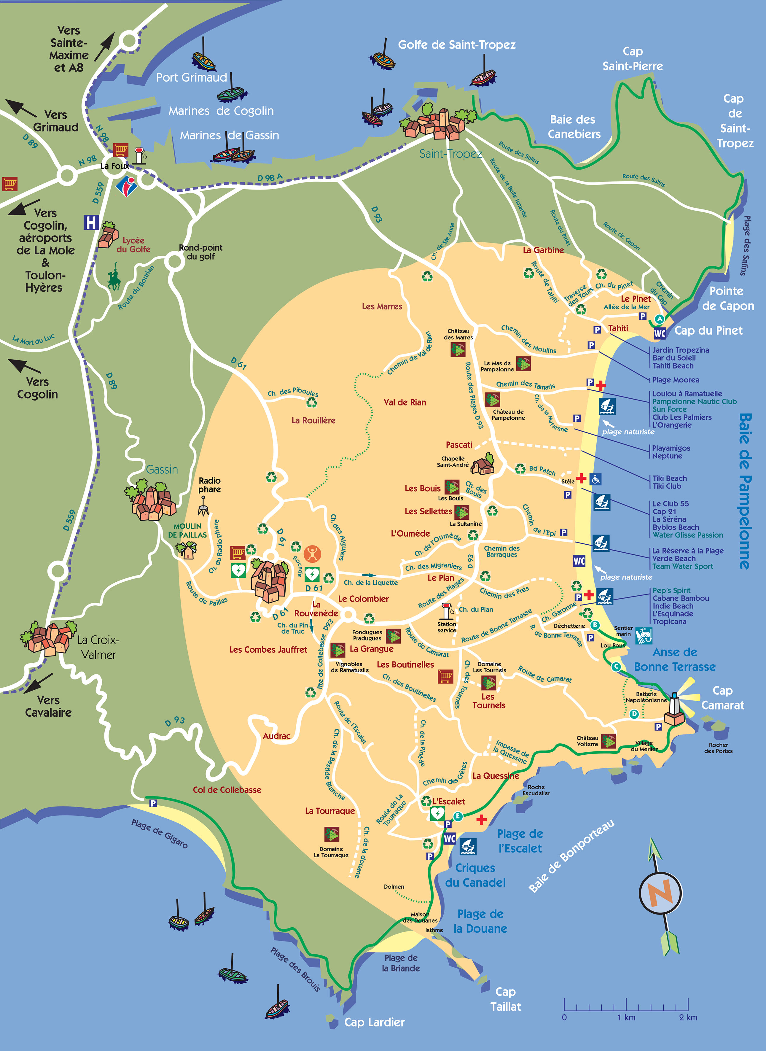
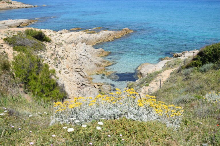
Ramatuelle has 15 km of coastline on wich are indicated several hiking circuits (yellow indicator).
Circuit A
The Bay of Pampelonne
5km –  1h30 –
 Route de Tahiti.
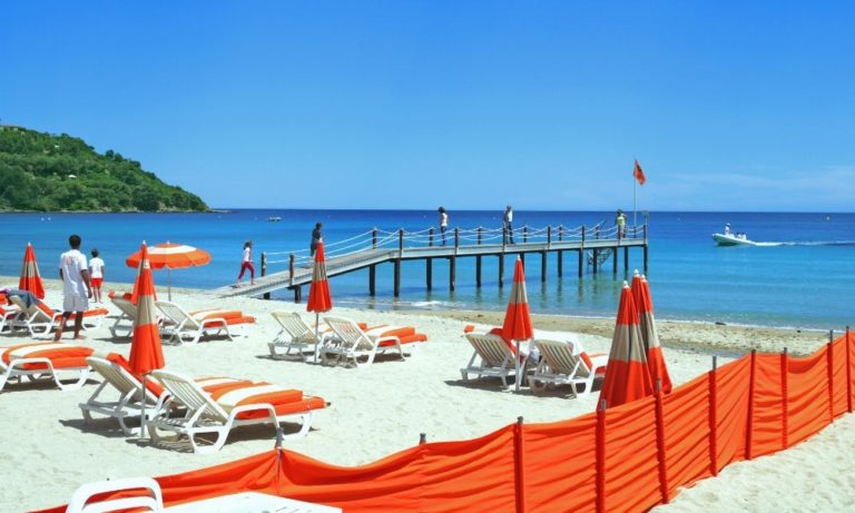
You can walk right along the edge of the sea, past the diffe-rent bathing establishments, both public and private,which succeed each other along the most extensivebeach on the peninsula.Pampelonne who was thescene of the Allied landings on 15th August 1944. A stone, at Patch Boulevard, commemorates these events.
Circuit B
Pampelonne – The Inlet of Bonne Terrasse
0,5km –  15mn –
 Route de Bonne Terrasse.
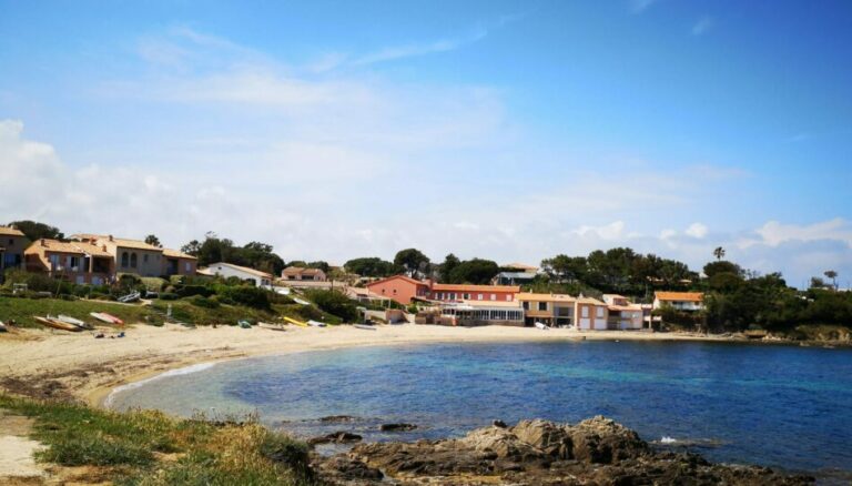
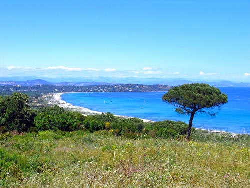
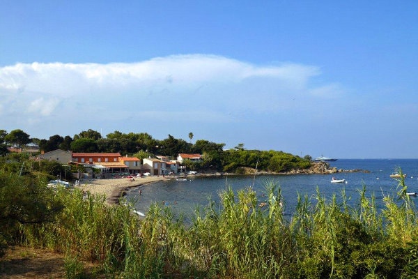
At the far south of Pampelonne, take the footpath along the base of therocky coastline. After about 100m , don’t miss the well of ‘Lou Pous’with its resurgence of fresh water, before arriving at the beach of BonneTerrasse and its fishermens’ cottages. Possibility of returning via thefootpath after the restaurant ‘Chez Camille’, or of going further alongon ‘Circuit C’ to Cap Camarat.
Circuit C
Bonne Terrasse – Cap Camarat
2,5km –  30mn
30mn
 as Circuit B
 extra parking (30 places) along the road to the restaurant ‘Chez Camille’.
Take ‘Circuit B’ and follow on, or join it from the footpath which leads to the beach of Bonne Terrasse. Go along the sea-front to the barrier, then :
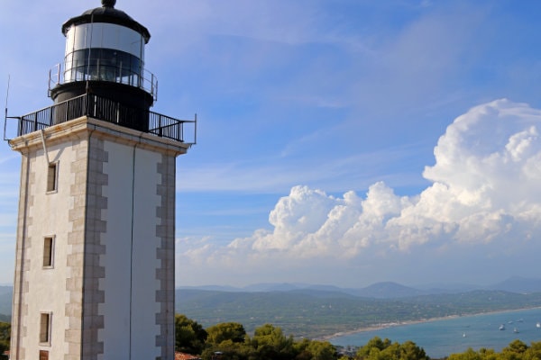
–  – The road on the right will lead you gently up to the Lighthouse, which you will reach after about 500m.
– 30mn –  – the steep road on the left over the sea, leads up to the Rocher des Portes or ‘Bird Island’
Possibility of climbing up to the Lighthouse (15mins up a path on the right).
Circuit D
Cap Camarat – Plage de l’Escalet
4,5km –  2h20 –
 at the bottom of the Camarat lighthouse
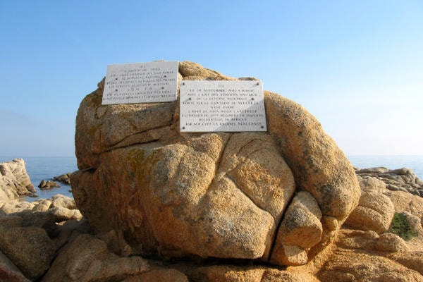
This itinerary starts with a succession of ups and downs along the rockface, before coming to sea-level along to Escalet Beach and its little private harbour. Discover the outcrop of the Napoleonic Battery, the village of Merlier (35 houses built in the 1960’s by the achi-tects known as MONTROUGE, combining traditional and modern features) ; the Château Volterra (a private residence from the 1900’s) and the Escudelier Rock (commemorating the submarine missions and escape of the banner of the 2nd regiment of Dragons during the Second World War).
Circuit E
Plage de l’Escalet – Isthme du Cap Taillat
2km –  35mn
35mn
2 indicators : yellow ( ) and blue (
 ). Recommanded with childrens
Good to know : passage on a portion where the naturism is authorized.
 next to the tennis courts. Go down to the beach and take the path which goes down some steps to the right, (after the villa).
 Go up the Boulevard Praya, then to the left. Direct access to the footpath.
Undoubtedly the most beautiful stretch of the coastal walkway, with its backdrop of the isthmus of Taillat, which can be reached after a succession of rocky inlets. From the summit of Cape Taillat (a remarkable site protected by the Coastal Conservation bureau), you will marvel at the different colours of the sea-bed, which change with every breath of wind. Behind the Customs’ House on the right, the path leads to the dolmen of the Briande Bay (a burial ground dating from 2000 BC) – 10mn –  .
.
Possibility of continuing to Cap Lardier (30 mn) and to Gigaro Beach – 1h30) –  .
.
